Slope maintenance system - CSMS4
Introducing CSMS4 (Cut-Slope Maintenance System 4) – a groundbreaking innovation in the realm of cut-slope management. CSMS4 stands as an avant-garde solution, harnessing the very latest in technological advancements and progressive methodologies. This state-of-the-art system has been meticulously crafted with the sole purpose of elevating the standards of efficiency, safety, and environmental sustainability within the domain of cut-slope maintenance.
CSMS4 (Cut-Slope Maintenance System 4), is a pioneering solution for cut-slope management that leverages cutting-edge technology and methodologies. CSMS4 is designed to enhance the efficiency, safety, and environmental sustainability of cut-slope maintenance, making it an indispensable tool for infrastructure and land development projects.
CSMS4 is at the forefront of cut-slope maintenance, offering a holistic approach to monitoring and management. By seamlessly integrating GIS mapping, Photogrammetry, data visualization, and Machine Learning, this system empowers users to proactively address issues, reduce maintenance costs, enhance safety measures, and promote sustainable practices in the management of cut-slopes. Embrace the future of cut-slope maintenance with CSMS4.
GIS Mapping Tool - Seamless Visualization on GIS Maps
Geo-Spatial Insight Engine - Seamless Terrain Mapping
CSMS4's GIS mapping tool offers a user-friendly interface that integrates all observation objects onto a comprehensive Geographic Information System (GIS) map. This feature provides a bird's-eye view of the entire terrain, offering spatial context and allowing users to pinpoint the precise location of interest. GIS mapping streamlines decision-making by presenting data in an easily digestible format, making it an indispensable resource for planners, engineers, and maintenance crews.
Photogrammetry - Drones and 3D Point Cloud Modeling
Aerial Imaging Technology - Drone-Powered Surveying and Modeling
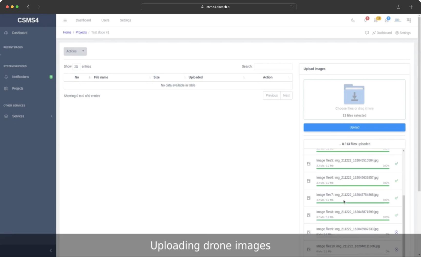
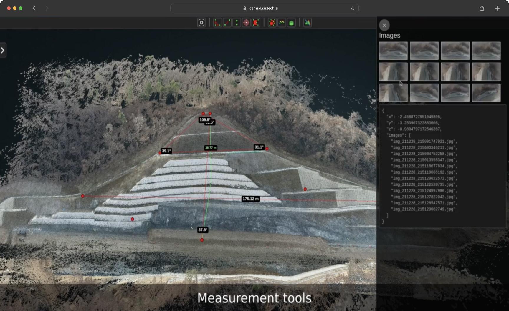
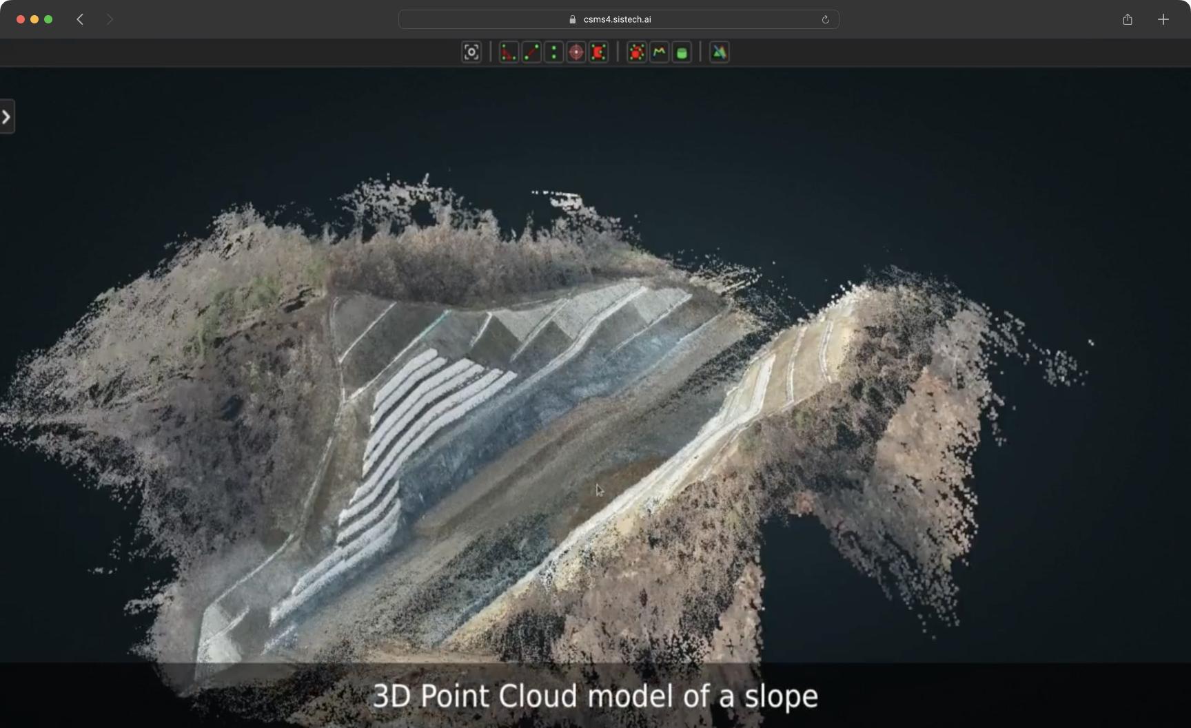
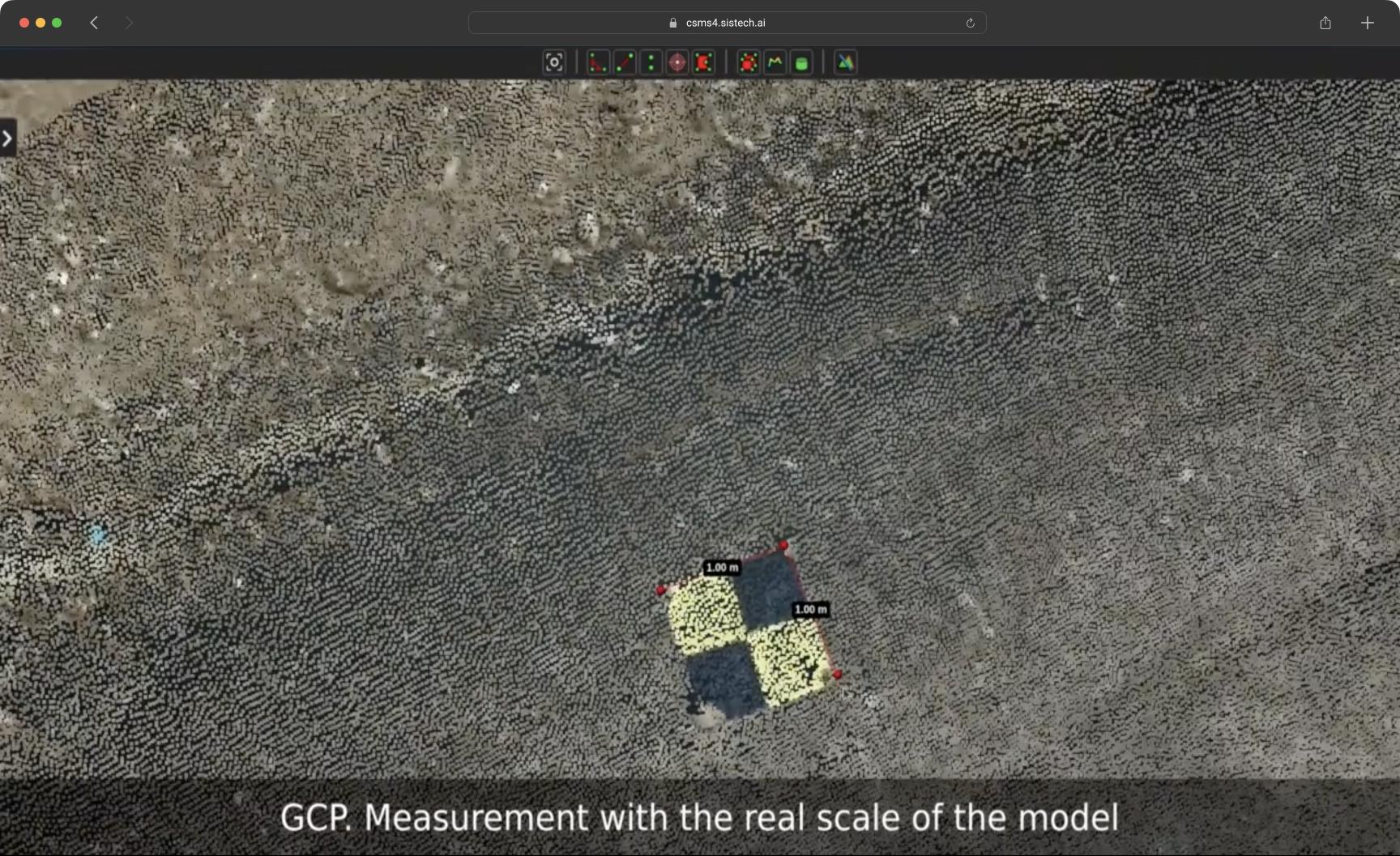
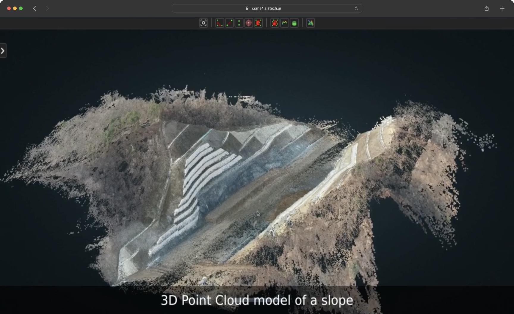
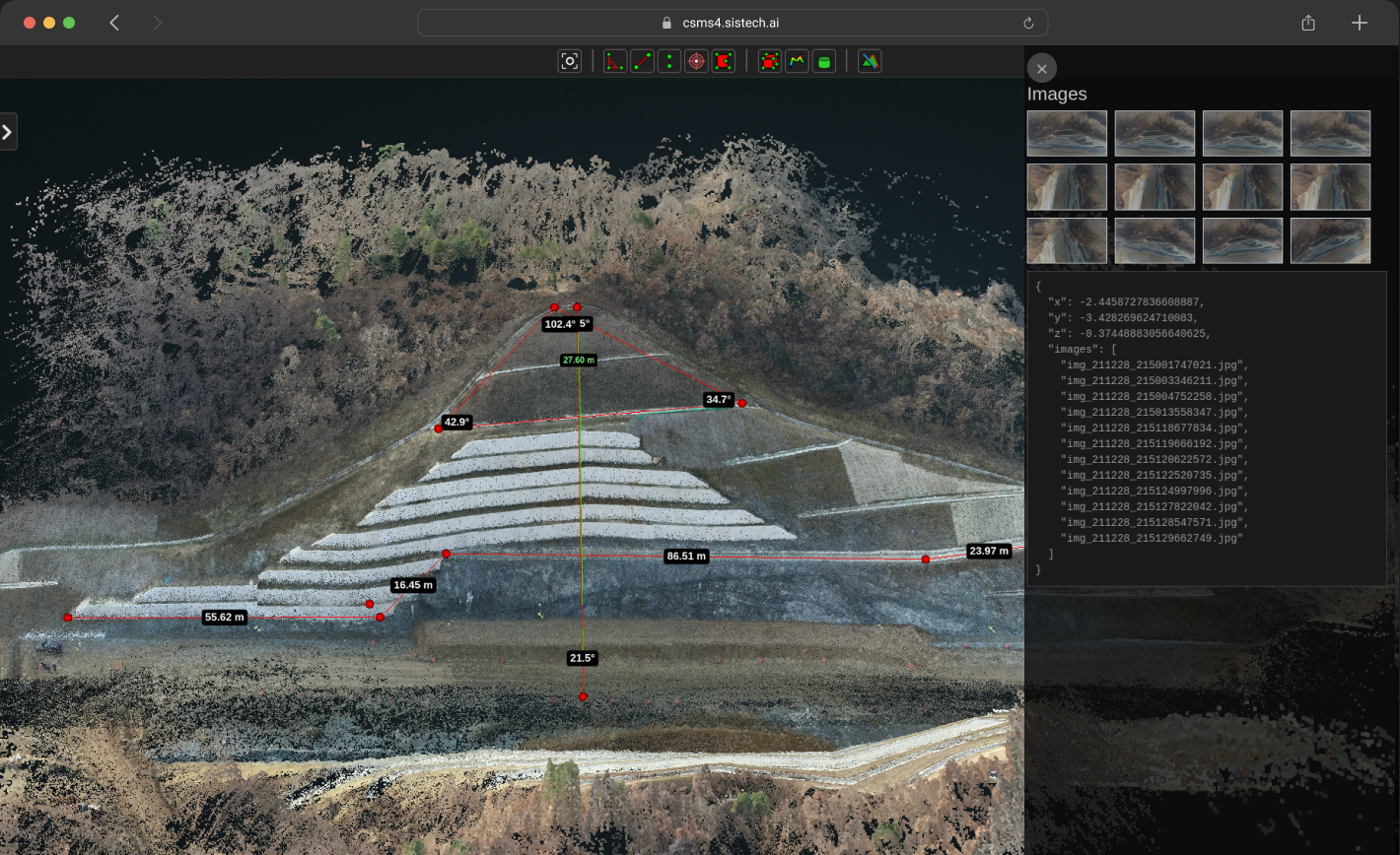
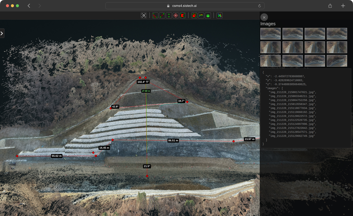
Leveraging the latest in aerial technology, CSMS4 employs drones to capture high-resolution images of observation objects. These images are then transformed into intricate 3D point cloud models. This cutting-edge approach enables an in-depth analysis of cut-slope conditions, from soil erosion patterns to vegetation growth, enhancing decision-making accuracy and enabling proactive maintenance strategies.
Data Visualization - Effortless Large-Scale Point Cloud Models
Dynamic Data Mapping - Real-Time 3D Data Representation
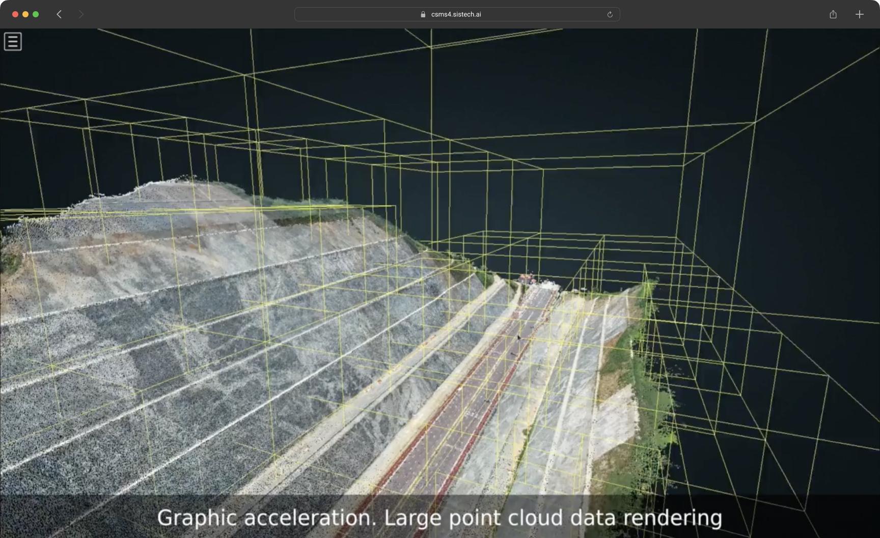
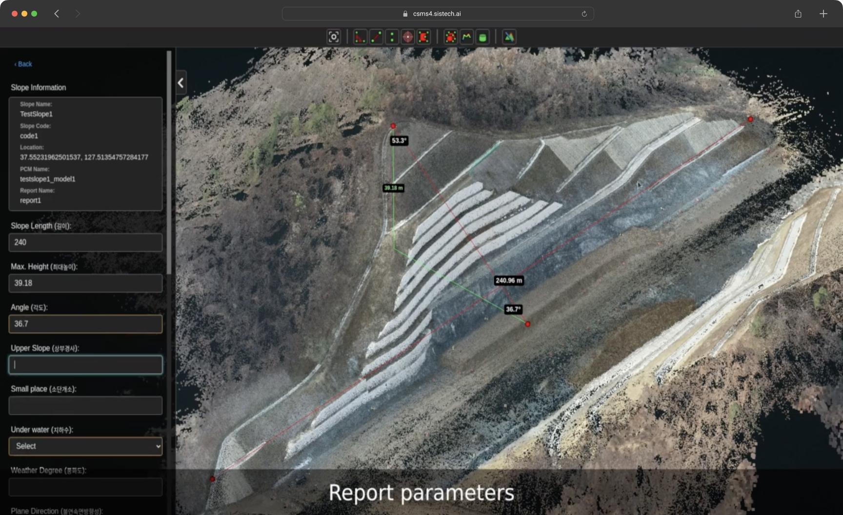
CSMS4 offers an exceptional browsing experience by effortlessly rendering large-scale point cloud models in a web-based environment. This feature ensures that users can explore and analyze their data with exceptional ease and speed, eliminating the frustration of lagging or slow-loading models. The result is a seamless and intuitive platform for in-depth cut-slope analysis and assessment.
Machine Learning - Advanced Noise and Vegetation Removal Algorithms
AI-Enhanced Data Analysis - Smart Noise Reduction and Vegetation Management
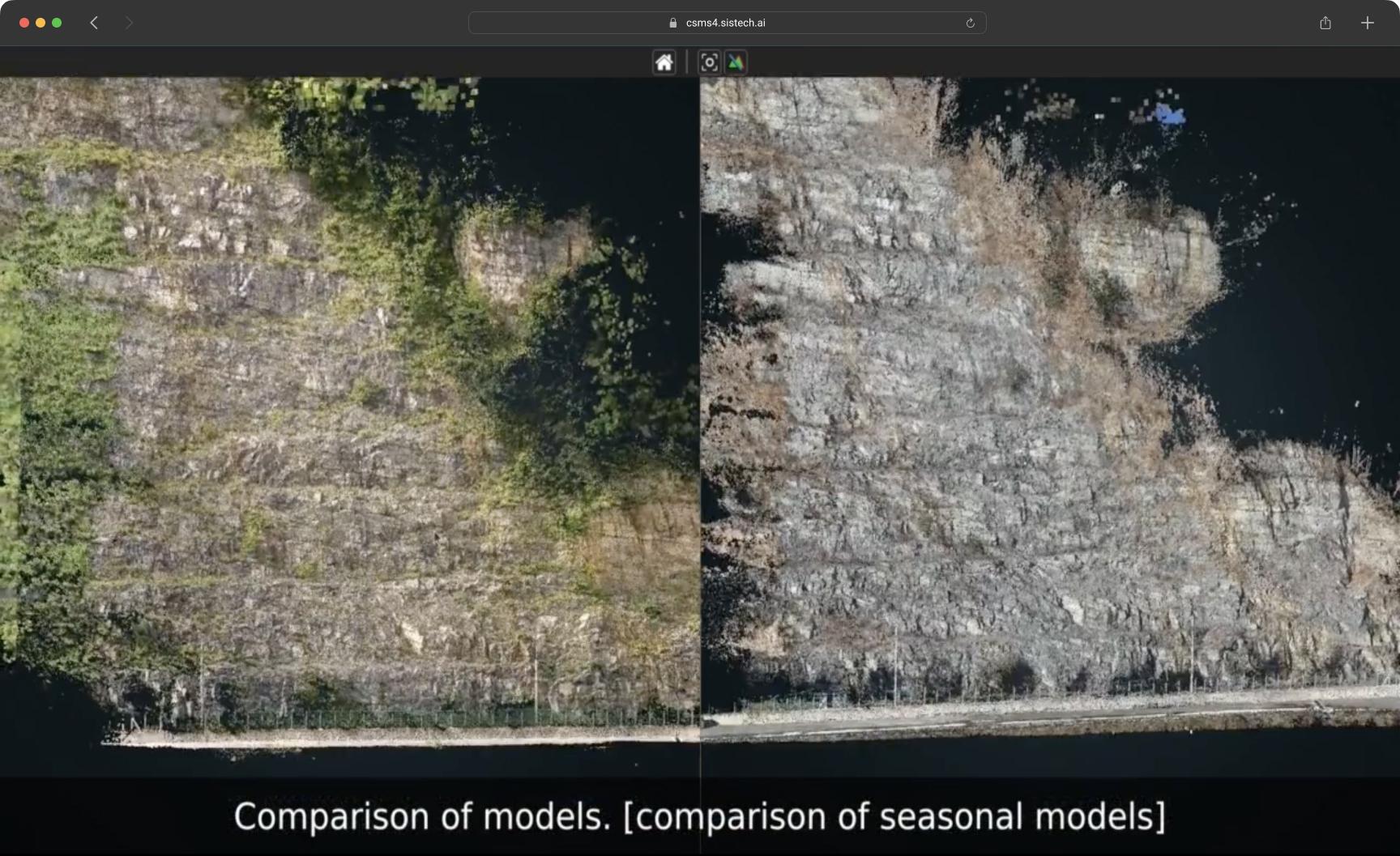
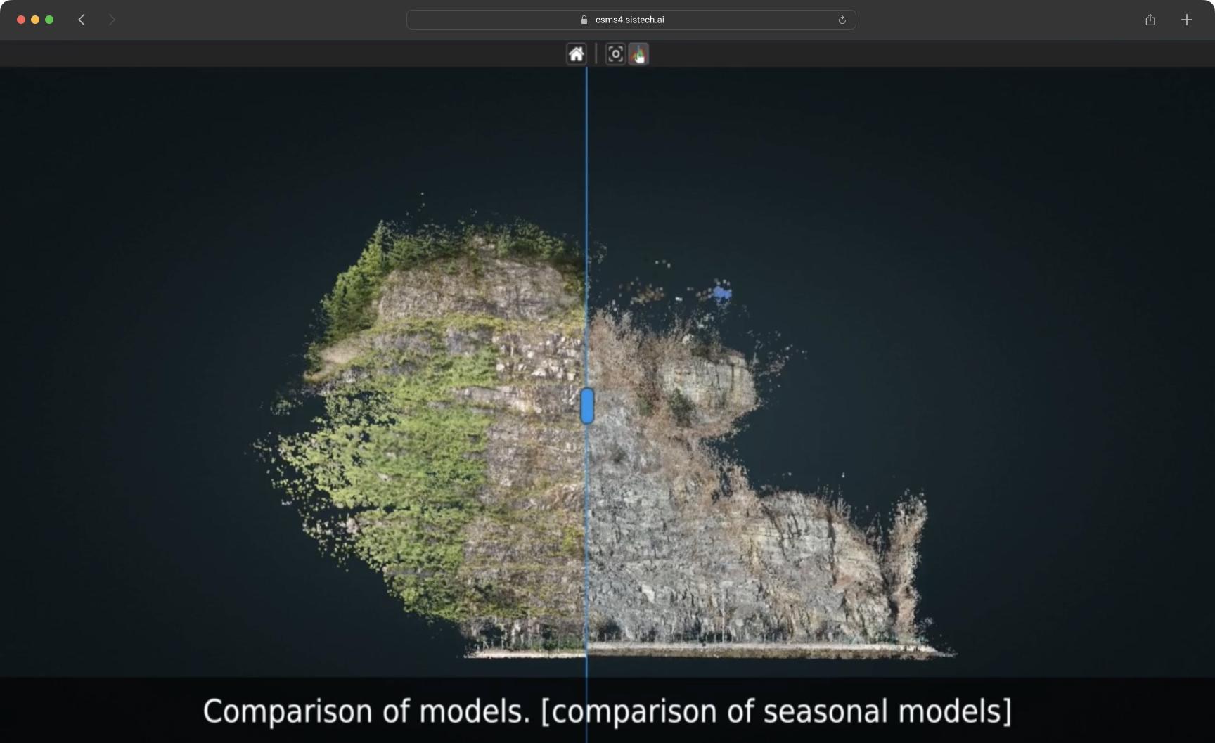
At the core of CSMS4's advanced capabilities are its Machine Learning algorithms, meticulously crafted to excel in noise reduction and vegetation removal. These algorithms intelligently identify and eliminate unwanted elements, such as sensor noise and obstructive vegetation. By refining the accuracy of data analysis, CSMS4 delivers a clearer and more precise understanding of cut-slope conditions, enabling maintenance efforts to be targeted and efficient.
